Published on
02:07 GMT
Magnitude 3.9 Earthquake Strikes Remote Alaska Range Near Denali
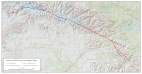
A USGS map shows the extent of surface rupture along the Denali Fault system during the magnitude 7.9 Denali earthquake of Nov. 3, 2002. The map provides regional context and does not depict Monday’s earthquake. Image: Peter J. Haeussler, U.S. Geological …
Source:
Weatherboy
-
Neutral