
According to researchers at the University of Texas, big earthquakes are more likely to take place off the coasts of Washington and Oregon rather than off of northern California because of more compact seafloor sediments in the offshore north that are less porous and have less water between the grains.
")
"We observed very compact sediments offshore of Washington and northern Oregon that could support earthquake rupture over a long distance and close to the trench, which increases both earthquake and tsunami hazards," Shuoshuo Han, a postdoctoral fellow at the University of Texas and lead author of the study, said in a statement released Monday.
Subduction zones are areas where tectonic plates slide under one another and are usually sites for geological activity. The compact sediments in the Cascadia subduction zone are likely to cause earthquakes and tsunamis.
In the Monday statement, the researchers explain that the Cascadia subduction zone has a thick buildup or wedge of sediments in front of overlapping plates. The sediment wedge on the fault more easily moves when compact, which increases the chances of a rupture occurring shallower beneath the seafloor and water being subsequently shifted enough to cause a tsunami on the coast.
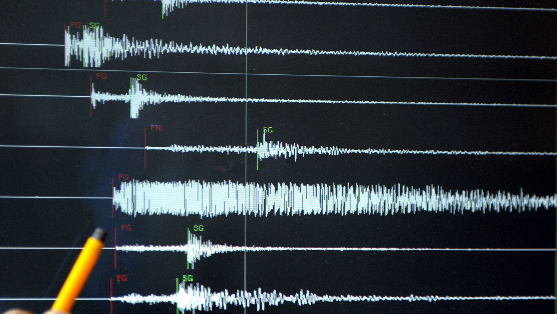
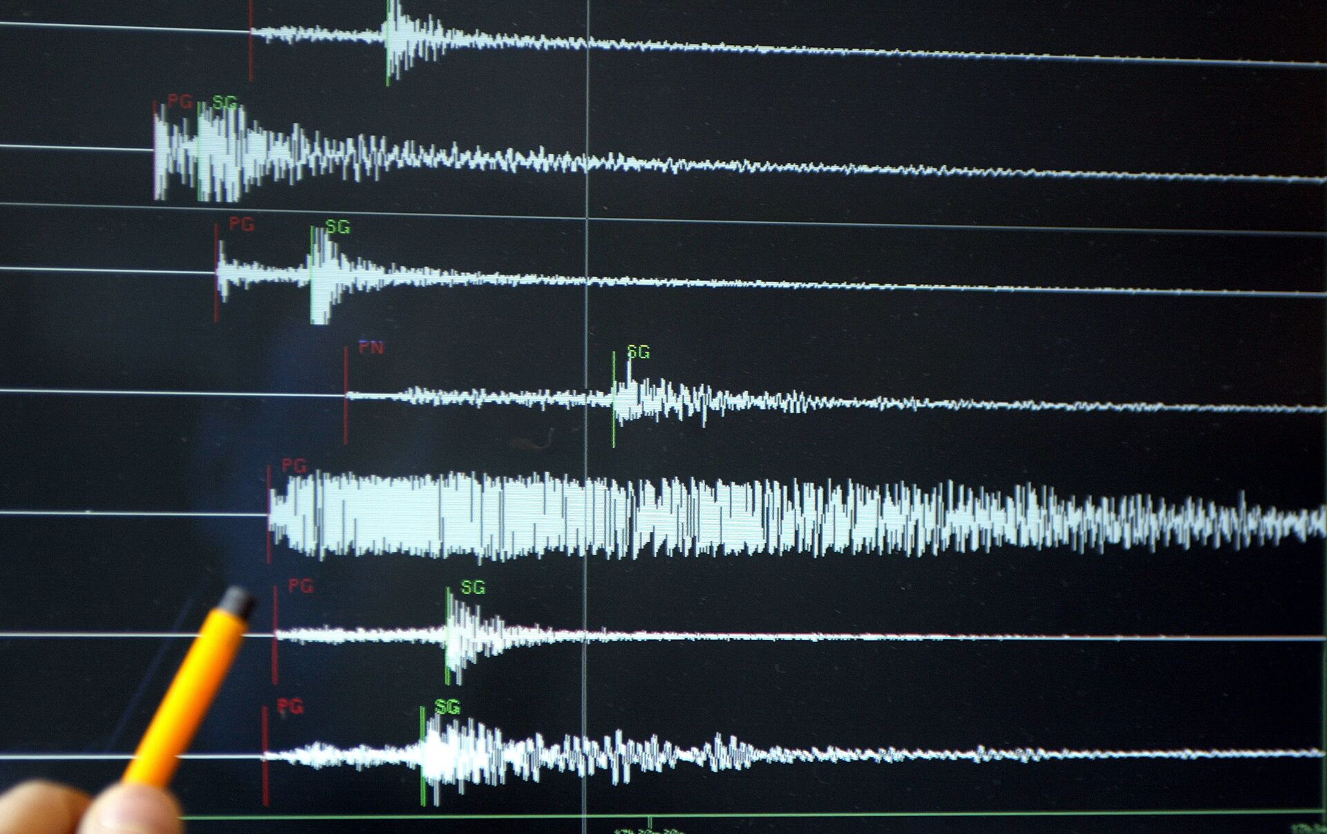
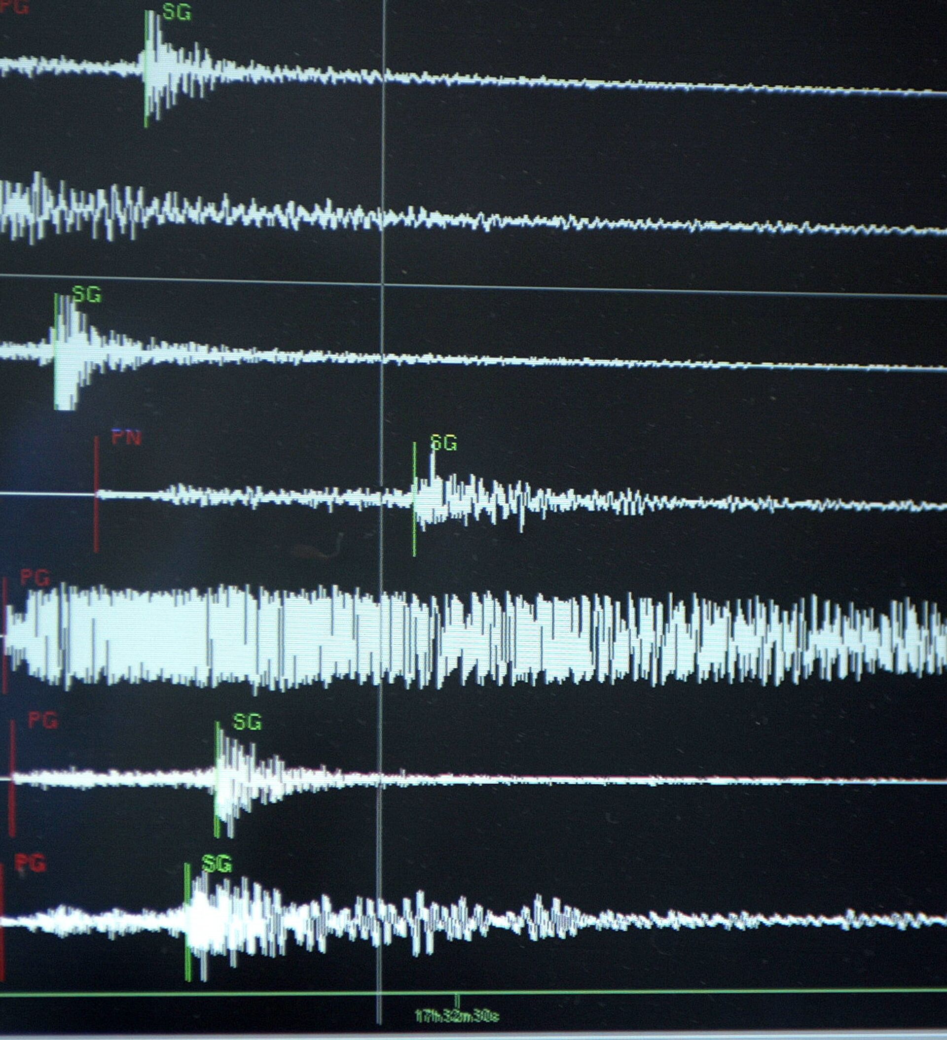
In the study, researchers gathered data from a seismic survey from sediment layers piled on subduction zones in the Northwest Pacific with seismic streamers, which use sound waves to collect data.
"These kinds of long-streamer marine seismic studies provide the best tools available to the science community to efficiently probe subduction zones in high resolution," co-author Suzanne Carbotte, a research professor of of marine geology and geophysics at Columbia University, said in a statement Monday.
The last major earthquake in the Pacific Northwest took place in 1700. A large earthquake in this zone typically occurs every 200 to 530 years, meaning that the region is about due for another big quake. Scientists predict that another earthquake will occur, but cannot determine exactly when that will happen.


